18 Leading Institutions.
11 Countries. One Mission.
UrbanAIR combines large-scale climate data with street-level simulations and behavioural models to support decision-making for local adaptation strategies, focused on urban heat, air quality, and green infrastructure planning.
Our consortium strategically combines expertise across the entire value chain: from fundamental climate science and AI research to urban planning practice and municipal implementation.
This multidisciplinary approach ensures our digital twin platform addresses real urban challenges with cutting-edge science.


Advisory Board
ECMWF, EUMETSAT and leading experts provide strategic guidance to ensure UrbanAIR aligns with Destination Earth. Their expertise in climate modeling, satellite data, and analytics shapes solutions that meet real urban needs. This collaboration ensures UrbanAIR effectively addresses urban challenges while contributing to global climate goals.
Organisations


Leading Experts

Assistant Professor at Architecture
& Built Environment
TU Delft, and PI of the 4TU Heritage project


Synergies
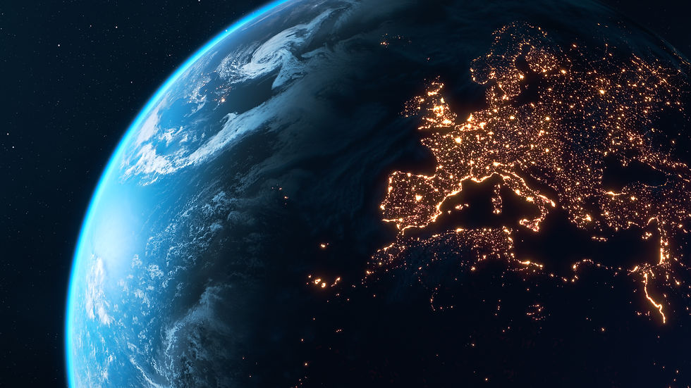
UrbanAIR is one of three projects funded under the Horizon Europe call 'New digital twins for Destination Earth'. Together with TerraDT and WeatherGenerator, we contribute to strengthening Destination Earth (DestinE), Europe’s initiative to build a high-precision, interactive digital twin of the Earth.
While each project addresses different components of the Earth system, our approaches are complementary and mutually reinforcing. Together, the three projects reinforce the scientific depth and practical relevance of Destination Earth - ensuring that digital twin technologies support informed decisions from continental scale down to individual streets.
The three sister projects collaborate through:
-
Joint webinars and knowledge exchange events & workshops
-
Exchange of modelling approaches and datasets
-
Alignment with DestinE interoperability and infrastructure standards
Follow #DigitalTwins4DestinE on LinkedIn or on our website search for the latest updates.

TerraDT enhances the DestinE Climate Digital Twin by advancing modelling of land, ice, aerosols and related impact systems. These improvements provide more reliable and higher-resolution datasets.
Related Articles

WeatherGenerator introduces advanced machine learning into DestinE through the development of a general-purpose foundation model for weather and climate.
Related Articles
